Understanding Land Surveying Costs
Larger parcels require more time and resources, increasing surveying costs.
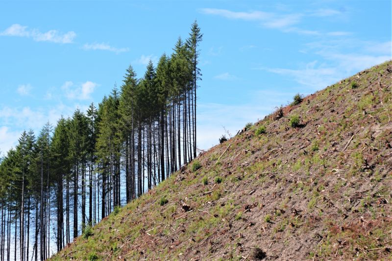
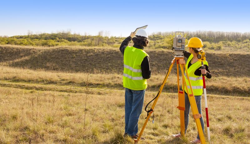
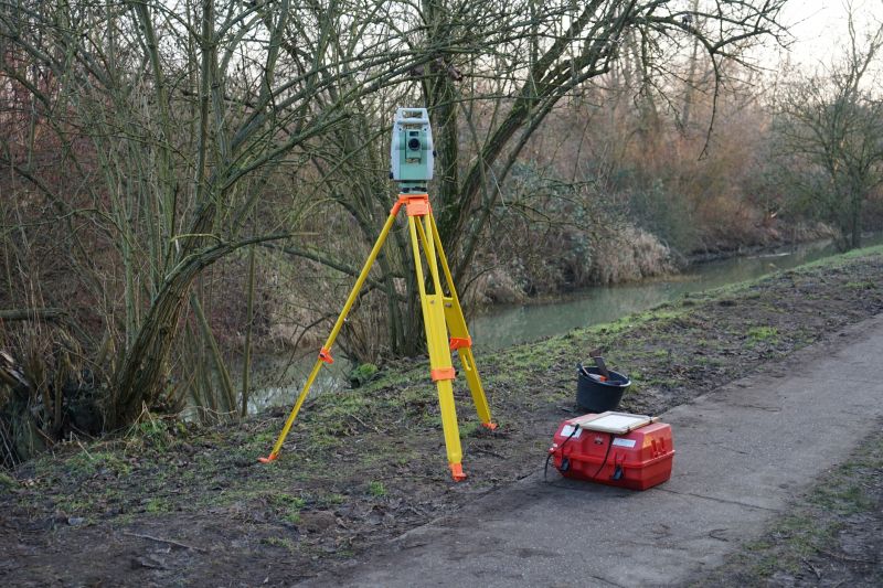
Challenging terrains like hills or dense vegetation can raise the complexity and price.
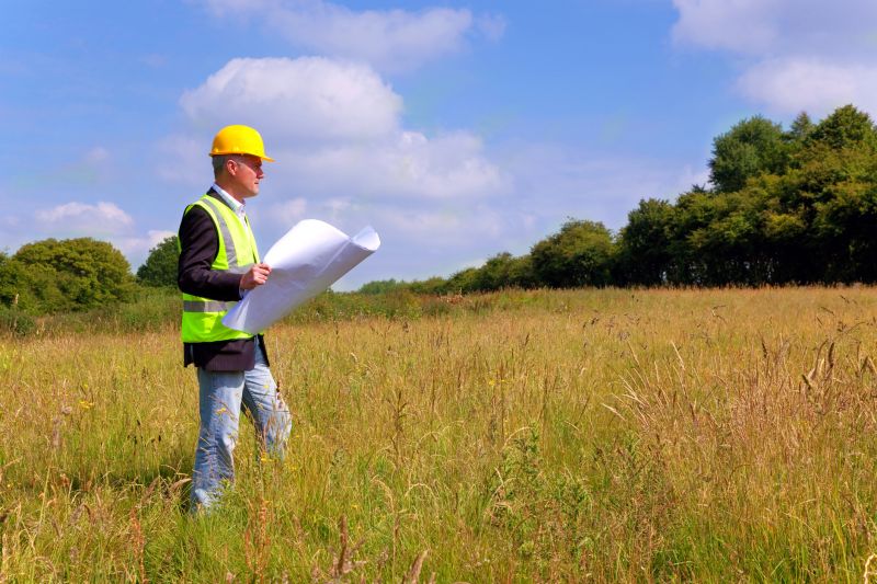
Boundary, topographic, or construction surveys vary in scope and cost.
| Factor | Impact on Cost |
|---|---|
| Property Size | Larger areas increase survey duration and expenses. |
| Terrain Complexity | Difficult terrains require specialized equipment and time. |
| Survey Type | Different survey types have varying levels of detail and cost. |
| Location Accessibility | Remote or hard-to-access sites can add to costs. |
| Permitting Requirements | Additional permits may increase overall expenses. |
| Existing Infrastructure | Pre-existing markers or structures can reduce survey time. |
| Legal Requirements | Complex legal boundaries may necessitate extra work. |
| Surveyor Experience | More experienced surveyors may charge higher fees. |
The cost of land surveying services can vary widely based on the specific requirements of each project. Smaller, straightforward surveys tend to be more affordable, while extensive or complex surveys can incur higher charges. Factors such as terrain difficulty, property size, and the type of survey needed play crucial roles in determining the total expense.
Additional costs may include permits, specialized equipment, and detailed report preparations. Accurate budgeting for land surveying involves understanding these variables and consulting with qualified professionals to obtain precise estimates tailored to the property's characteristics.
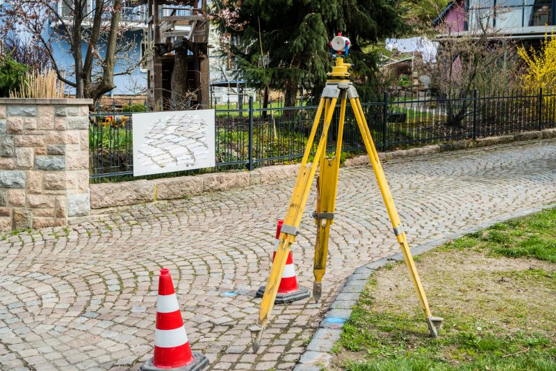
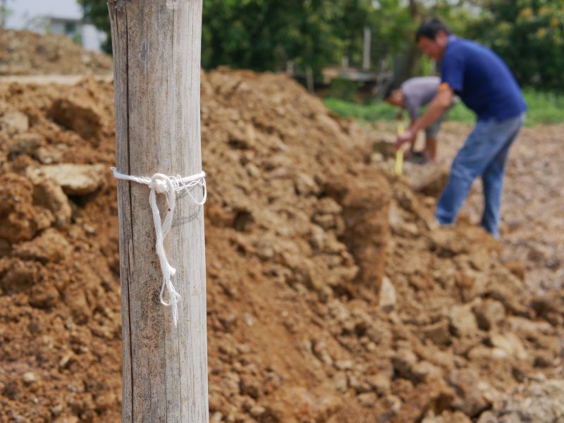
Placement and verification of boundary markers are essential components influencing survey costs.
Capturing elevation and land contours adds to survey complexity and price.
Setting out building locations involves detailed measurements, affecting overall costs.
| Service | Average Cost |
|---|---|
| Boundary Survey | $500 - $1,500 |
| Topographic Survey | $1,000 - $3,000 |
| ALTA/NSPS Land Title Survey | $2,000 - $5,000 |
| Construction Staking | $1,000 - $4,000 |
| Subdivision Survey | $3,000 - $10,000 |
| Flood Elevation Certificate | $400 - $1,000 |
| As-built Survey | $1,200 - $3,500 |
| Legal Description Preparation | $600 - $2,000 |
| Environmental Survey | $2,500 - $7,000 |
| Geodetic Survey | $5,000 - $15,000 |